“I love it when a plan comes together”
-Colonel John “Hannibal” Smith
As a youngster, you couldn’t ask more than guidance from the A-Team as every week they somehow found laid out solutions to the problems of their common day.
Bike rides try to reach the same goal and planning helps out a lot, but what happens when you take a step back?
Adventure!
I had always wanted to ride up Shoemaker Canyon and plans were to ride it late last year, but the scuttlebutt was the road was closed for powerline work and the inactivity on Strava confirmed it.
Then in mid-February, an afternoon opened up and a check earlier in the day yielded evidence that people were riding it again, so I grabbed my stuff and headed out to Azusa.
At this point, I’m well trained to take my cameras with me even if I don’t have any intent because sometimes you catch something worth filming, like a bike path reopening.
As I neared GMR, I thought…”Hey Me. You’re all the way out here. Might as well film. You may not remember it all, but fudge it in post!”
Welp, that gave me all the false confidence I needed.
Dead ending into a prison camp left us backtracking our way up a big climb with little water left, luckily, some saint realized there were idiots like us and left a couple of bottles.
Knowing now that I had to take GMR all the way down, I never paid much attention to the little spur up the East Fork.

Tackling the Monroe Truck Trail
I tried doing recon for this ride a few months ago with Vic which led to a near ghastly outcome of taking Monroe Truck Trail over to the East Fork.
I had always made an assumption that it was trail all the way there to the Bridge to Nowhere, but with about a half mile of pavement followed by a dirt road, confidence started to build.
Of course, right after my mind shifted and I filled out the pop-up paperwork, I only rode a minute before realizing it was time to turn back.
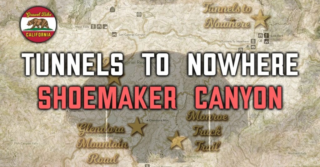
Not having cell phone service didn’t help trying to hone in the details about Shoemaker Canyon, but I did know there were two tunnels up there and memory from a friend telling me about their origins started to come to light.
After a mile of pavement, it comes to dirt road which is in pretty good shape and seemed suited for two way traffic until just after the three mile mark.
The path continued with a few sharp turns and narrow widths which suggests that bridges were supposed to fill some of these gaps, but then how did they do all that drilling for the tunnels?
As for the tunnels themselves, considering the pair that have been abandoned over forty years ago, they are in pretty good shape trusting I wouldn’t hit any ruts or trash making my way through.
Potentially, Shoemaker Canyon could be a Send it ride, but like the tunnels to nowhere, that’ll be a mystery for another time.

