Gravel Bike California has been excited to venture into Gold County and exploring around Yankee Jims and the Auburn State Recreation Area is a proper start.
When you think about the early pathways built into the Northern California Sierras, a lot of them had to do with the explosion of mining in the mid 1800s.
Nearly a couple of centuries later, time can romanticize that period as we hear mostly about the stories of success rather than failure and displacement, but this short and sturdy thirty mile loop brought a lot more insight to that history.
We stopped off before the ride into Auburn for the Victory Velo Bike Shop, hosts of the annual Tour de Placer Roubaix gravel event for confirming that a late afternoon summer start was going to be a battle against the heat.
The town itself is a great focal point for the Sierra Foothills, not only preserving and thriving from its Gold Rush history, but also its ties to all the adventuring from all their accessible trails, including the landmark Western States 100 Endurance Run.
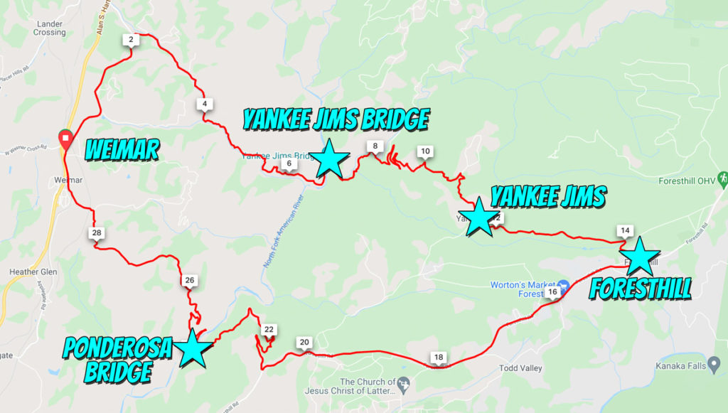
While we could have added dirt out of Auburn, since Yankee Jims was the target we started a little north out of a small town named Weimar to cut the milage and avoid the heat.
After a couple miles of rollers, it was easy to locate the turnoff to Yankee Jims Road that kept a very steady grade even transferring from pavement to dirt.
The descent is in good condition and slightly bumpy, but deceptive in presentation as primarily the dense green forest suggests that you’re high in elevation while the majority of the ride you hover around 2,000 feet above sea level.
I was more fixated in locating some of the smaller mines which were out of sight, but illustrated how widespread the search for gold was.
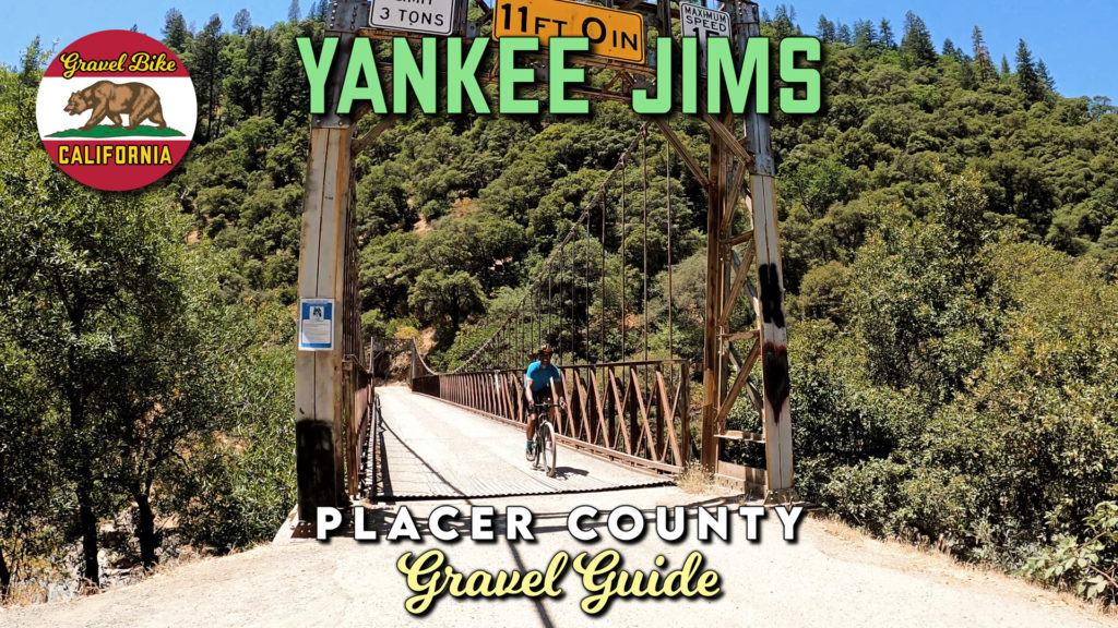
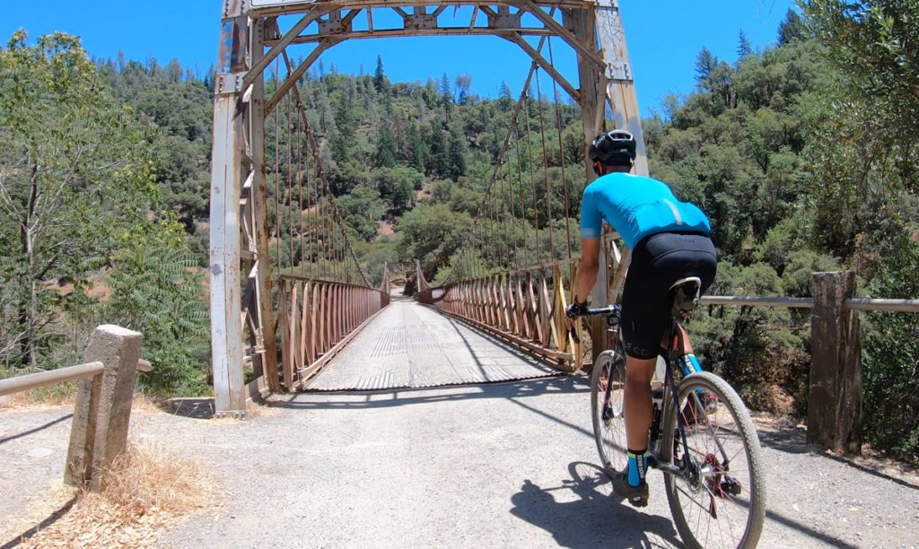
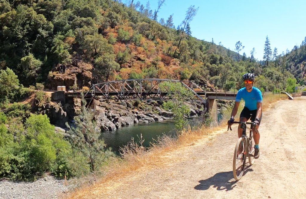
The heat slightly waned as we neared our first crossing of the American River’s North Fork over the historic 1930 Yankee Jims Bridge.
While structurally it is in great shape, be cautious making your way on the siding as the dirt assists how slippery it is.
The climb out you can do at a good tempo averaging 6% at just under five miles which more importantly is mostly shaded with a cooling waterfall near the bottom.
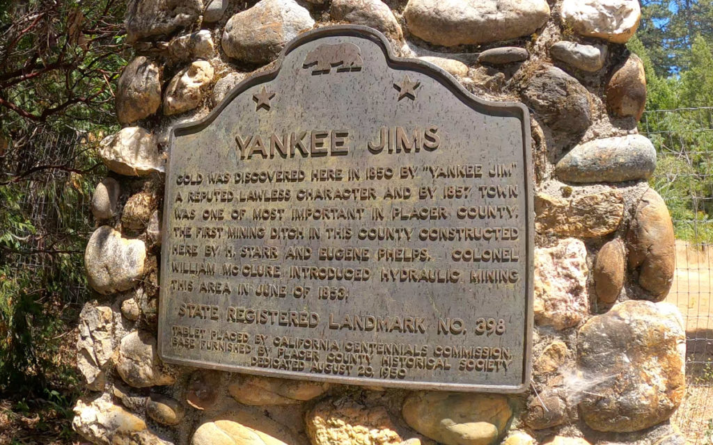
You clearly will recognize when you come up on the former mining area of Yankee Jims even though there aren’t many structures to note it.
The landscape is noticeably more moon like and the trees shorter and sparse making you recognize the vast amount space taken for operations for just one camp.
At the intersection of Spring Valley Rd, you’re offered a shortcut for the second phase of the ride if not a history lesson with a couple of historical markers.
We decided to continue along Yankee Jims road which added to the climbing (albeit paved) taking us straight into the town of Foresthill.
While it doesn’t have as large of a footprint as Auburn, there’s enough to ask questions like why is the main strip double wide?
Even with a few miles of downhill out of town, it was smart to stop at one of the local gas stations to refuel with water.
The right turn onto Ponderosa Way is the last direction of the day as you’re about to hit the most difficult part of the ride.
While it’s shorter distance wise making it down to the river, that comes with a much steeper grade and a bumpy surface that’ll slow your progress.
You might be fearful of the signs that say bridge closed (which is actually directed towards vehicles), you should have a greater concern with the climb out.
After briefly following the river, the hairpin turn signals the start of the toughest effort of the day covering 2.2 miles at around 10%.
It’s not just the numbers that get you, but the direct exposure to sunlight and few hints where you’ll actually end up.
The finish is thankfully shaded and paved as you return through rural Weimar thinking to yourself, “that was only thirty miles?”
Gold Country has a lot to offer for graveling, but the riding within all this historical context makes it extra special.
